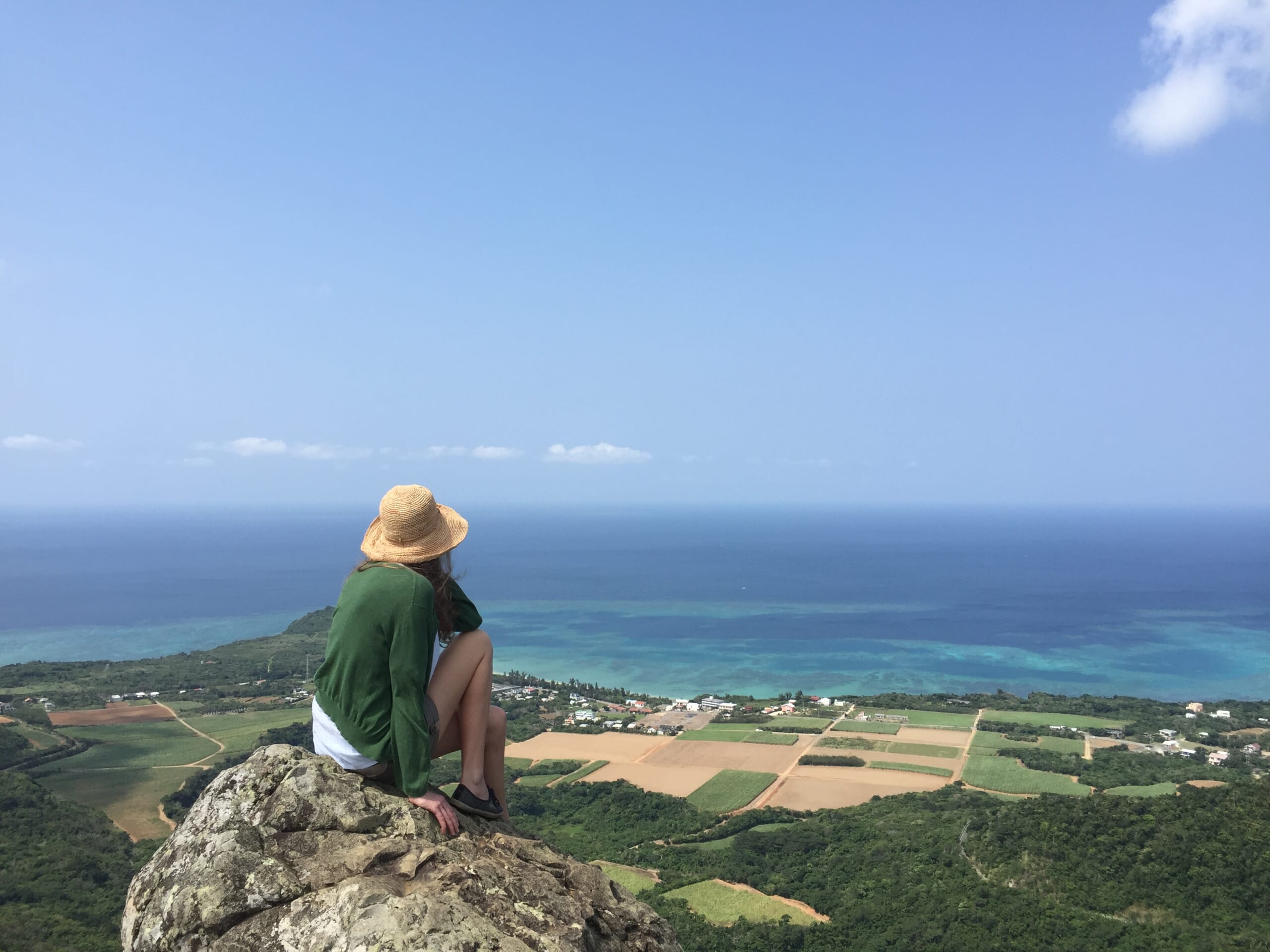
Start with the kind of outing you want.
We like nature and walking, and have walked each of the places on this page. We are not mountain guides; this page explains the difference between a visitor walk and a mountain outing on Ishigaki.
Banna Park is a large public park with visitor areas and forest walking. Omotodake, Nosoko Mape and Fukai-Omotodake ask for a different level of preparation. Ishigaki City’s current guidance says that routes commonly used towards Omotodake and Nosoko are forestry management roads, not recreational hiking trails.
Banna Park: visitor walking and viewpoints.
Banna Park is where we would begin if you want to walk in forest, stop at viewpoints and spend a relaxed part of a day outdoors without making a mountain ascent the purpose of the day. We have walked here ourselves, and the park’s scale gives you choices rather than one prescribed route.
Use the park map to choose a visitor area that suits the day. The forest walking and nature areas are part of a public park; they should not be confused with the less formal routes used towards Ishigaki’s mountains. Check current park information before you go, especially after heavy weather.
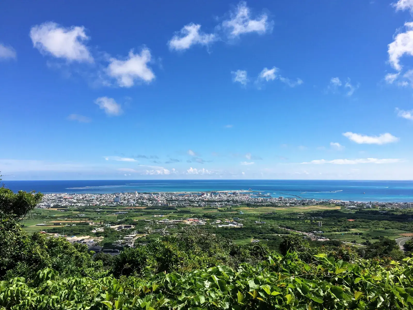
Mountain routes are a different kind of day.
Do not let a short description online turn a mountain into a casual walk. Vegetation, rain and route finding can change the experience quickly. The city advises people not to go alone and to consider a guide; that is the sensible starting point if you do not know the mountain or the conditions.
We do not give turn-by-turn GPS instructions here. Check current local information and the weather, decide honestly whether the outing suits the group, and turn back early when it does not.
Omotodake: Ishigaki’s highest mountain.
We have walked Omotodake. At 525.5 metres, it is Okinawa Prefecture’s highest mountain, but that fact should not make it sound like a maintained leisure hike. The approach used by walkers is described by Ishigaki City as a management road rather than a recreational trail.
Treat an ascent as a mountain outing: allow more time than the walk itself, avoid relying on a fixed online timing, and make a conservative decision about weather and your group.
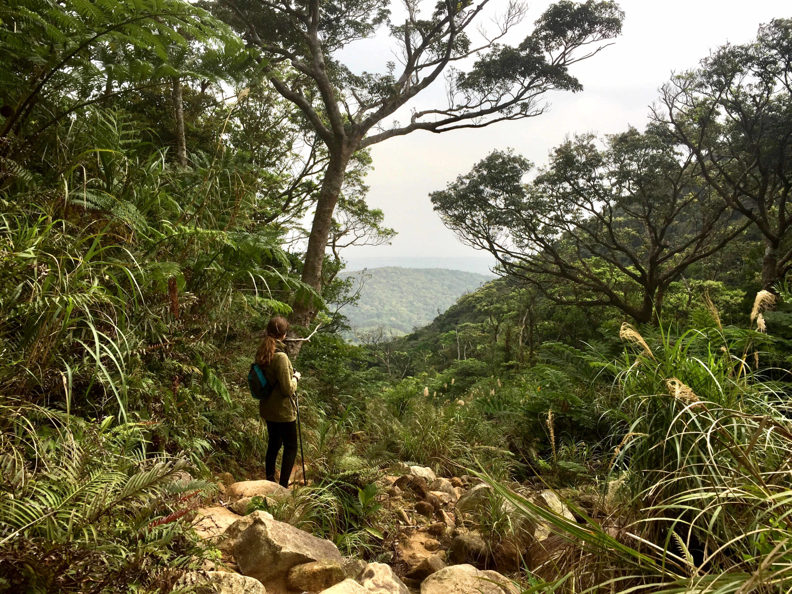
Nosoko Mape: short does not mean maintained.
We have walked Nosoko Mape too. It is often presented as a short climb, but it is not a maintained tourist trail. Ishigaki City includes the routes used towards Nosoko in the same warning about management roads and mountain accidents.
Go only with a plan that matches the conditions and your experience. Do not treat a summit photograph, a precise online track or another visitor’s timing as a guarantee of what you will find that day.
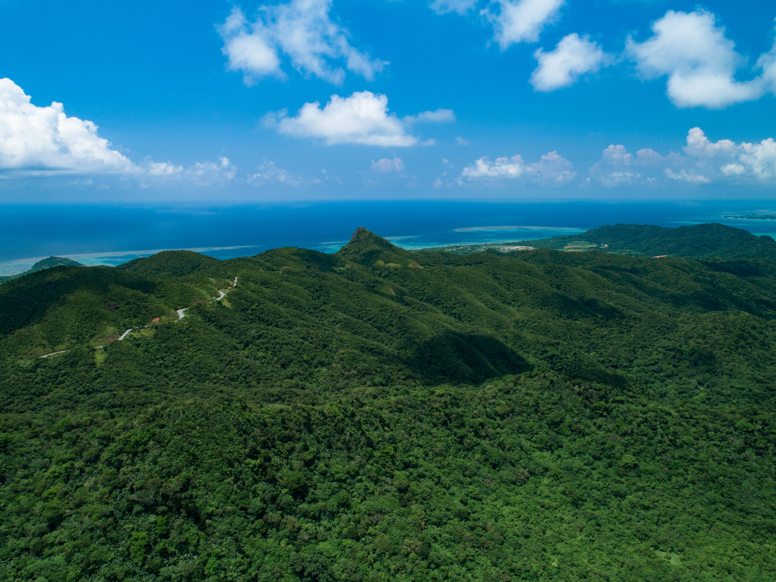
Fukai-Omotodake: a separate mountain.
Fukai-Omotodake is not Omotodake. We have walked it, and include it because it is sometimes blurred into a general list of Ishigaki hikes. It deserves its own consideration rather than being treated as a standard extension of another route.
The route can feel less defined, with vegetation and navigation adding to the day. We do not give a fixed route, distance or completion time here. If you are considering it, use current local advice and choose a guide when you need one.
Before going into the mountains.
Low elevation does not automatically mean a simple outing. Check current weather and local notices, do not go alone, and consider a guide if the route or conditions are unfamiliar. Start early enough to leave a generous margin for turning back.
Take suitable footwear, water, sun and rain protection, long clothing when appropriate, a charged phone and an offline map. Rain, wind and vegetation can change a route. If anything feels wrong, turn around rather than trying to complete a plan.